Westerwald is known for its sources of clay as well as its ceramic art
The district of Westerwald is home to about 200,000 inhabitants and situated in the north of the federal state of Rhineland-Palatinate. It has 192 municipalities and the city of Montabaur as administrative seat.
The area encloses the core part of the Westerwald, which is located in the northeast of Koblenz. It extends from the edge of the middle Rhenish basin and Unterlahn heights until the Montabaurer depression, Kannenbecker country, Oberwesterwald and the upper Westerwald, up to the city of Siegen.
Westerwald is known for its huge and qualitative sources of clay as well as its historical and contemporary ceramic art.
The administrative district of Altenkirchen has 119 municipalities with a total of approx. 129,000 inhabitants and lies in the north of the federal state of Rhineland-Palatinate. It is the district farthest north in Rhineland-Palatinate and encloses the northern part of the Westerwald forest. It is located in midst the conurbations Köln-Siegen-Frankfurt/Main. In the north, the countryside is characterized by the wide mountain ranges of Giebelwald and Windhahn whilst in the south you mostly find agriculturally used areas. The district was founded in 1816. Three rivers run through it: Sieg, Wied and Nister. Seat of administration is the town Altenkirchen.
More information (in German): http://www.westerwald.info/
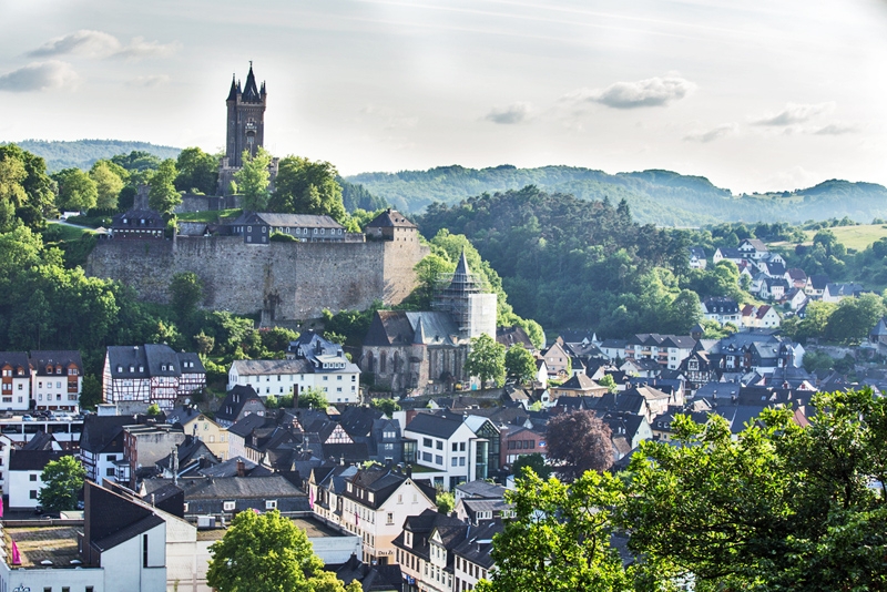
Photo: Dillenburg, Tobias Arhelger/Shutterstock