Former volcanoes shape the landscape of the Eifel - one of UNESCO’s Worldwide Geoparks.
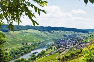
The administrative district of Vulkaneifel has around 61,000 inhabitants and is situated in the northwest of the federal state of Rhineland-Palatinate. It consists of 109 municipalities and is in terms of population the smallest administrative district in the federal state as well as the fourth smallest in Germany. River Kyll runs through the district flowing from north to south. Seat of administration is the city of Daun.
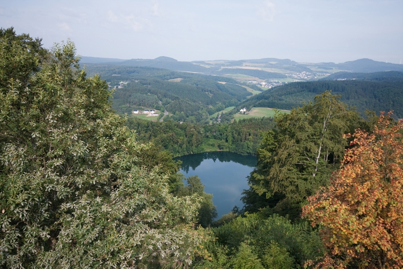
The district’s countryside is characterized by former volcanism which has created unique scenery. The Dauner Maare, Gillenfelder Maare as well as the Dürren Maare, Trockenmaare, lava mountains and numerous mineral springs are results of that time. The Vulkaneifel „European Geopark“ is since 2004 listed in UNESCO’s Worldwide Geoparks.
More information: (in French and Netherlands): http://www.eifel.info/nextshopcms/show.asp?e1=175&lang=nl
Photo: Gertjan Hooijer/Shutterstock